Historical Charts
Port Jackson Historic British Admiralty Chart
$62.30
$21.80
Chart of the Great Barrier Reef Area (1893) by William Saville-Kent
$48.45
$16.96
Australia — East Coast, Port Stephens (1845)
Western Australia — King George Sound & Princess Royal Harbour (1859)
Australia — South Coast, Entrance to Port Phillip (1859–60)
$69.23
$24.23
Australia — East Coast, Cape Flattery to Cape Sidmouth & the Barrier Reefs (1843–48)
Australia — Coral Sea & Great Barrier Reefs to Torres Strait (Sheet II, 1860)
Australia — Coral Sea & Great Barrier Reefs to Torres Strait (1861)
Australia — South Coast, Port Phillip (1836–1856)
Australia — East Coast, Halifax Bay to Double Point & the Barrier Reefs (1843–48)
Australia — Bass Strait (1843) — HMS Beagle Survey
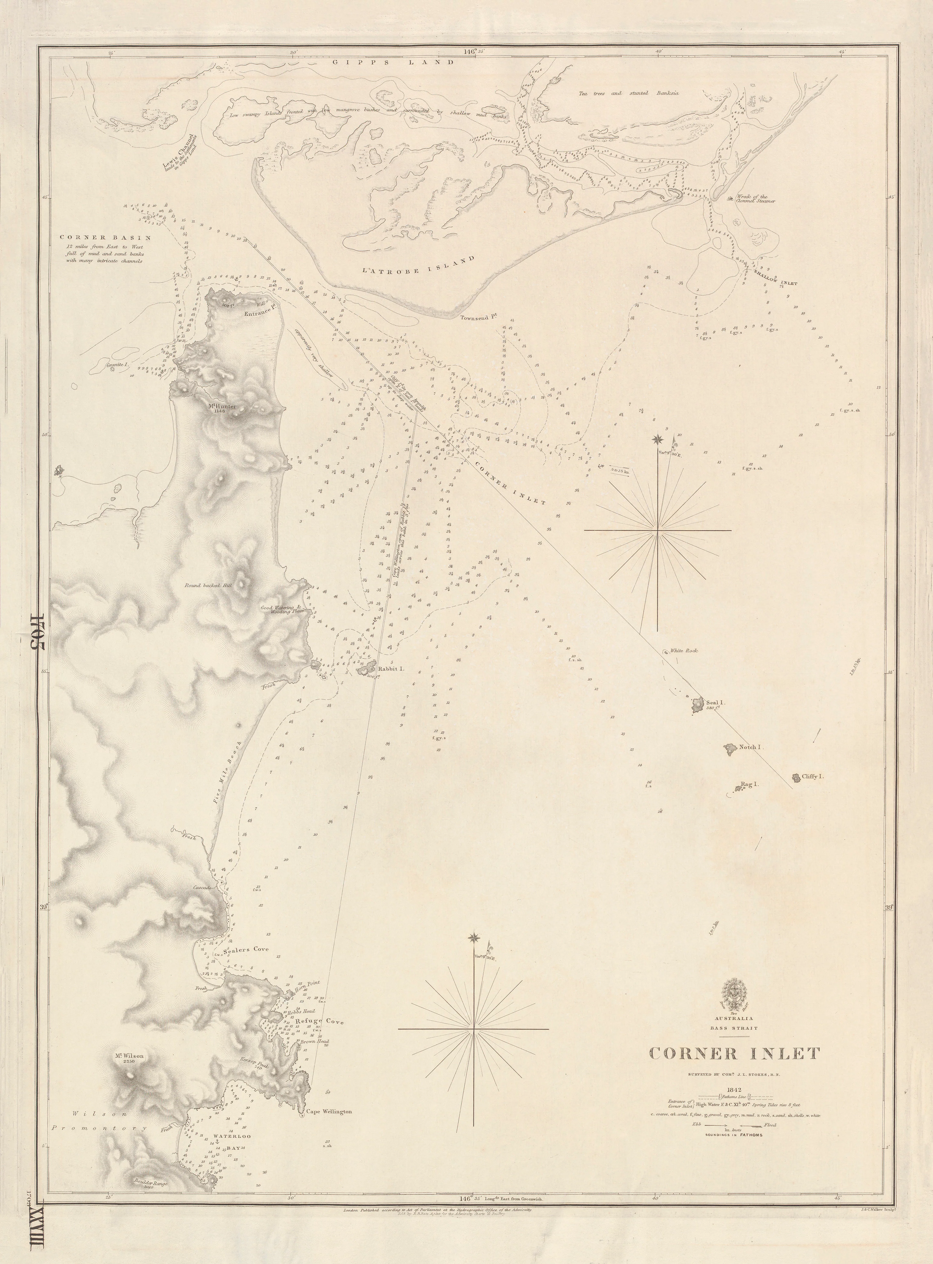
Australia — Bass Strait, Corner Inlet (1842)